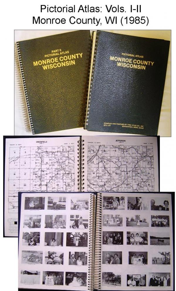
1985 Pictorial Atlas of Monroe County, WI: Volumes I & II. Two huge volumes, a combined two inches thick, of county and family histories. Wire bound, leather like covers measuring 10” x 13”. Compiled and published by the Title Atlas Co., Inc.
Volume I contains: • Maps of the United States, Wisconsin, Monroe County • Plat maps of Monroe County townships showing land ownership • Patron Index allowing for easy name look ups • Patron Directory providing name, spouse name, children names, occupation, address, length of time in county, etc.
Volume II contains: • Photographs of county libraries, churches, schools • Historic photographs of patron ancestors • Studio photographs of patrons and family • Submitted family photographs • Historical sketches of Monroe County townships, communities, villages, churches, places, events, businesses • Family histories • 1915 Plat Book of Monroe County complete reprint.
Spiral bound; good condition. [Note: This item was donated to the LHR to sell as a fundraiser since it duplicates superior examples already in the MCLHR collection. Money raised from the sale of this item directly supports the Local History Room Research Library].

