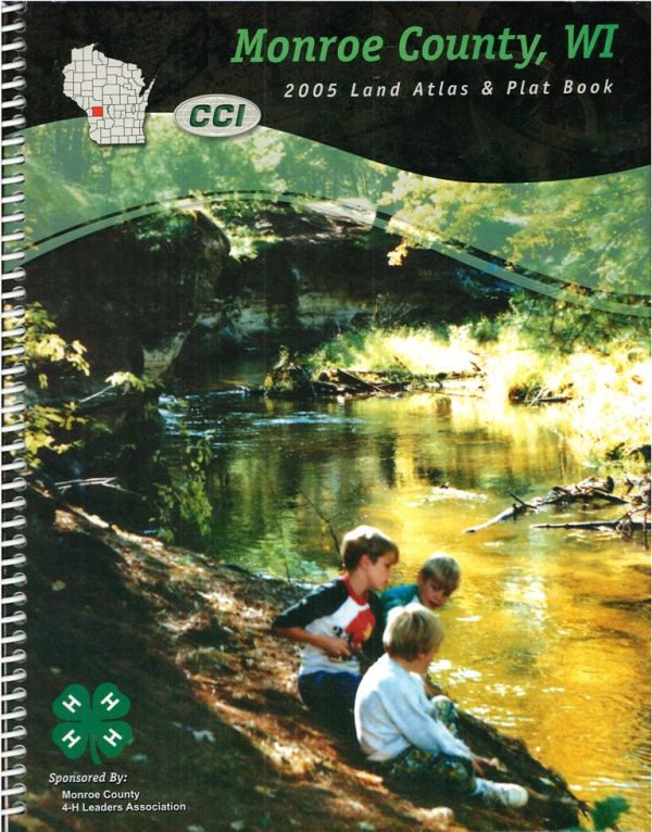
Land Atlas & Plat Book of Monroe County, WI. Original plat book published in 2005 by Cloud Cartographics, Inc., St. Cloud, MN. Sponsored by Monroe County 4-H Leaders Association. Contains colored Township and City maps depicting land owners, roads, highways, etc. Also includes a Land Owner Index, Road Index, and General Highway Map of Monroe County. Cover and pages in good condition. Soft cover; spiral bound; 98 pages.
[Note: This item was donated to the LHR to sell as a fundraiser since it duplicates superior examples already in the MCLHR collection. Money raised from the sale of this item directly supports the Local History Room Research Library].

