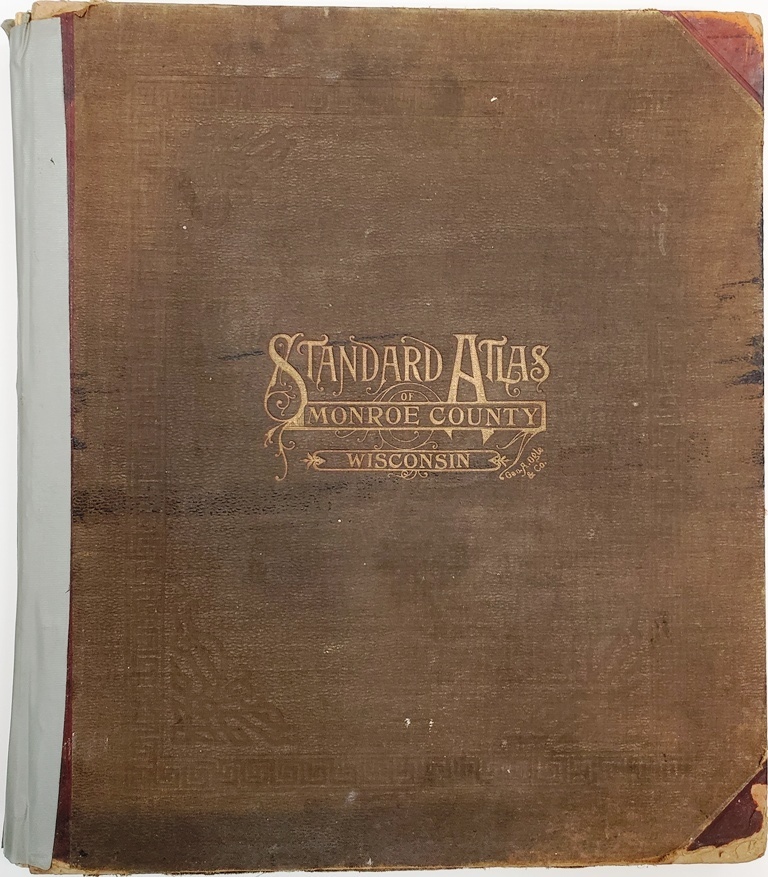
1915 Standard Atlas of Monroe County, Wisconsin. Published by Geo. A. Ogle & Co., Chicago. This original, hard bound book includes • Plat maps of the Villages, Cities, and Townships of the County • Maps of Wisconsin, the United States, and the world • Patron Directory listing names, addresses, occupations, and year of settlement in the county • Ten pages of black and white photographs of Monroe County people, farms, churches, schools, and businesses • Analysis of the System of US Land Surveys, Digest of the System of Civil Government • Chronology of Ancient, Medieval, and Modern History. The pages are in good condition. Binding slightly loose. Someone used duck tape on the spine and binding in the past. The maps are in very good shape, just some minor spotting. Cover has some fading and edge wear especially on the corners. Hardcover.
[Note: This item was donated to the LHR to sell as a fundraiser since it duplicates superior examples already in the MCLHR collection. Money raised from the sale of this item directly supports the Local History Room Research Library].
1915 Standard Atlas of Monroe County, Wisconsin
$79.95